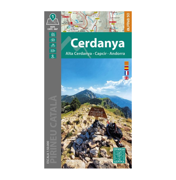
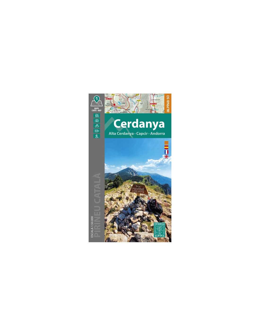
Editorial Alpina Hiking Map CERDANYA Unisex
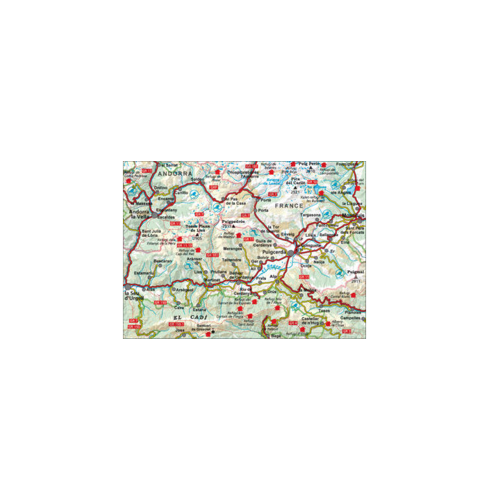
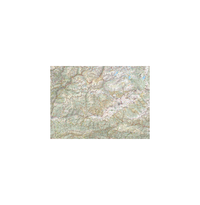
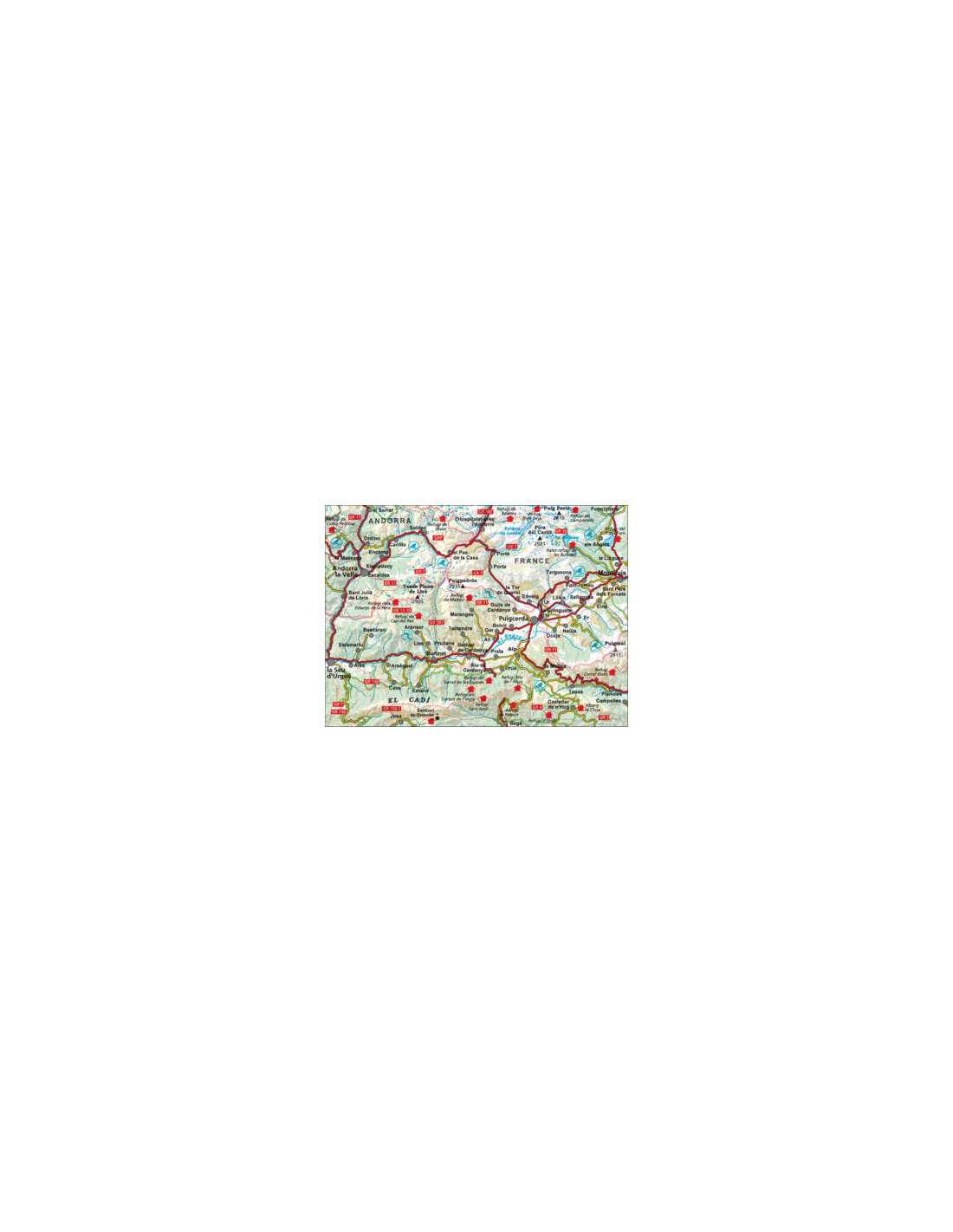
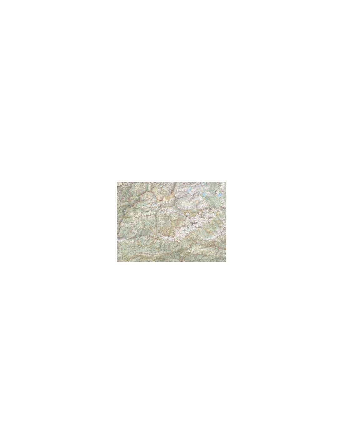
The CERDANYA Map by Editorial Alpina is an essential tool for hiking and outdoor exploration enthusiasts. Designed with precision at a scale of 1:50,000, this map provides a detailed representation of the terrain, including contour lines every 20 meters and a complete depiction of vegetation with shading. Ideal for planning routes and ensuring orientation in the field, this map also includes a network of trails and services, along with UTM coordinates for precise navigation. Additionally, it comes with a folder that includes valuable information for hikers.
Product Details
- Scale: 1:50,000
- Contour Lines: Every 20 meters
- Representation: Detailed vegetation and shading
- Network: Trails and services included
- Coordinates: UTM for precise navigation
Features
- 2025 / 2026 Edition
- Hiker information included
- Durable and water-resistant
- Easy to read and handle
- Ideal for route planning
|
- Covers the Cerdanya region
- Designed for hikers
- GPS compatible
- Includes topographic details
- Perfect for outdoor activities
|


