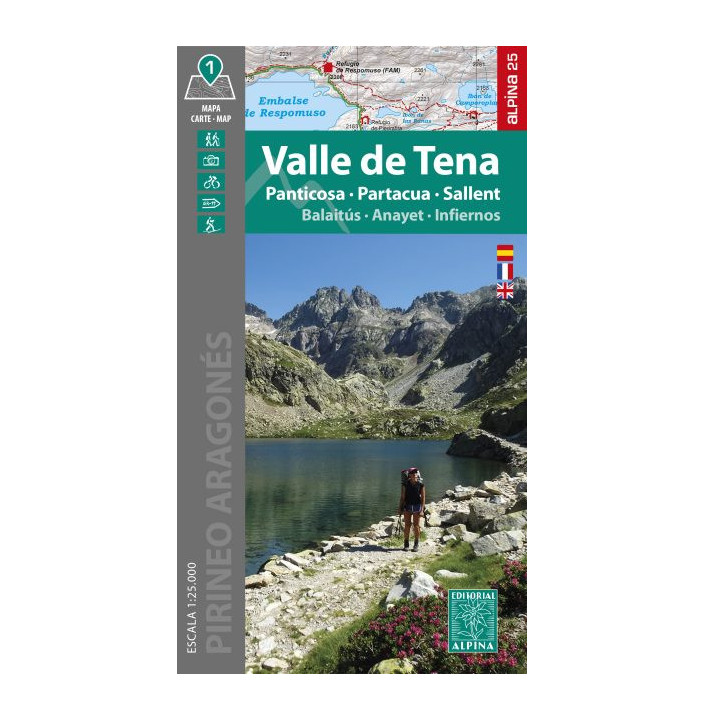
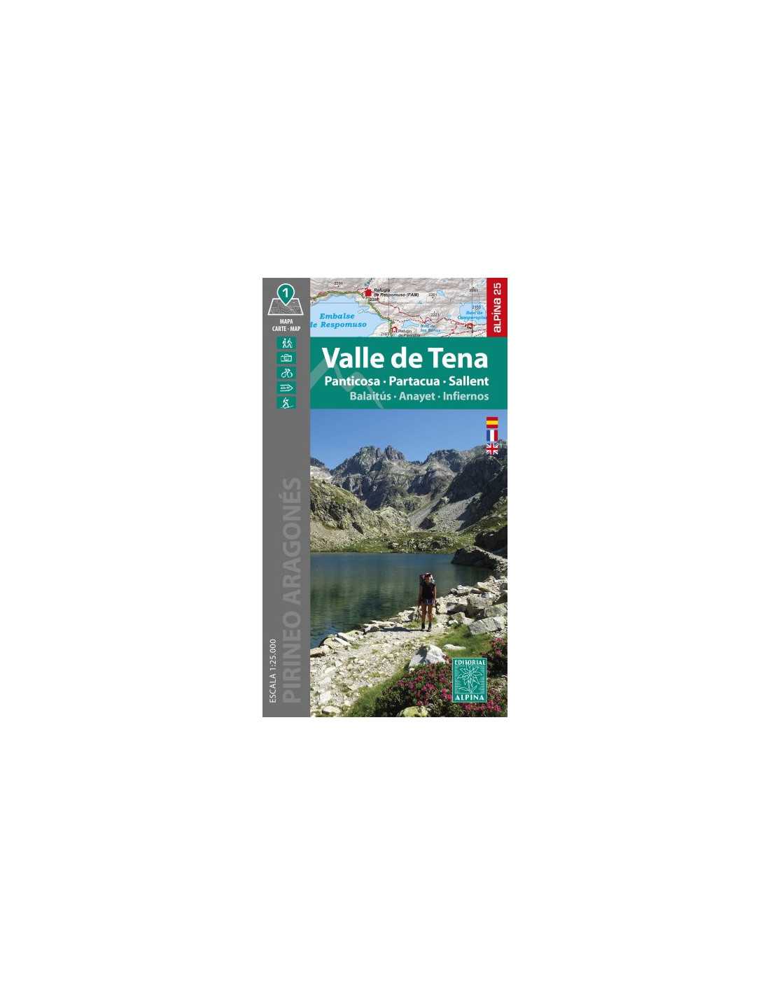
Mapa Excursionista Editorial Alpina Valle de Tena Unisex
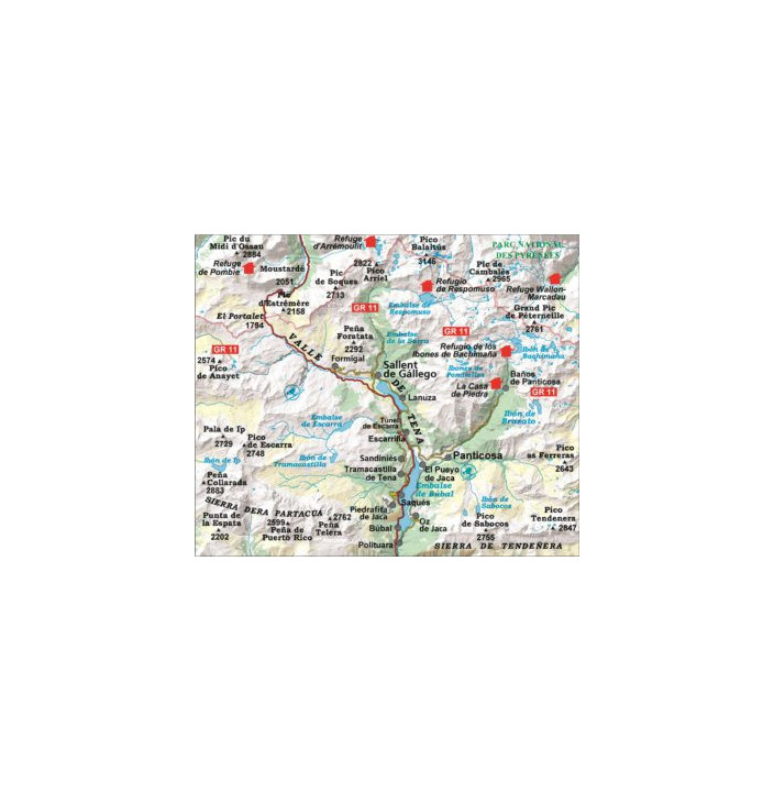
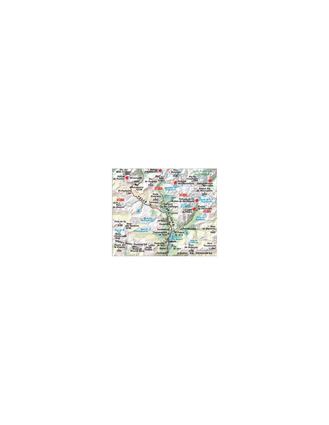
The hiking map by Editorial Alpina, titled "Valle de Tena–Panticosa–Partacua–Sallent," is an essential tool for hiking enthusiasts exploring this region. Designed with precision, it features a detailed scale of 1:25,000, ideal for planning routes accurately. The folder includes detailed information about the trails and available services, as well as a faithful representation of the terrain and vegetation, helping hikers navigate with confidence.
Product Details
- Scale: 1:25,000
- Contour lines: Every 10 m
- Representation: Vegetation and shading
- Additional information: Network of trails and services
- Coordinates: UTM
Features
- Includes folder with hiking information
- Ideal for route planning
- High cartographic precision
- Easy to carry
- Water and wear resistant
- Designed for nature explorers
- Easy to read and use
- Compatible with GPS devices
- Updated information for 2025/2026
- Detailed topography indications
|
- Widely recognized by hikers
- Provides navigation safety
- Essential for outdoor activities
- Incorporates details of local services
- Clear coloring for easy interpretation
- Provides an enhanced user experience
- Usable in all seasons
- Durable material for prolonged use
- Compact and practical design
- Compatible with other guides of the region
|


