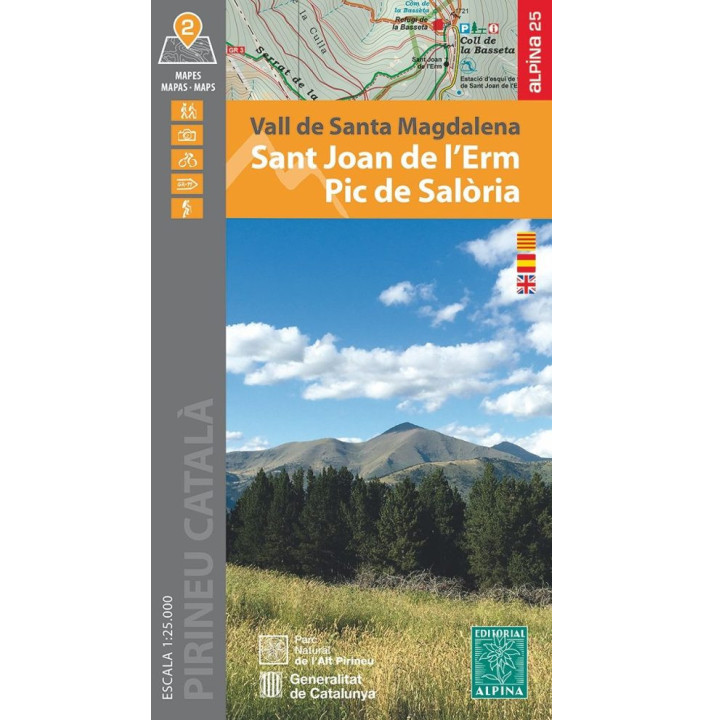
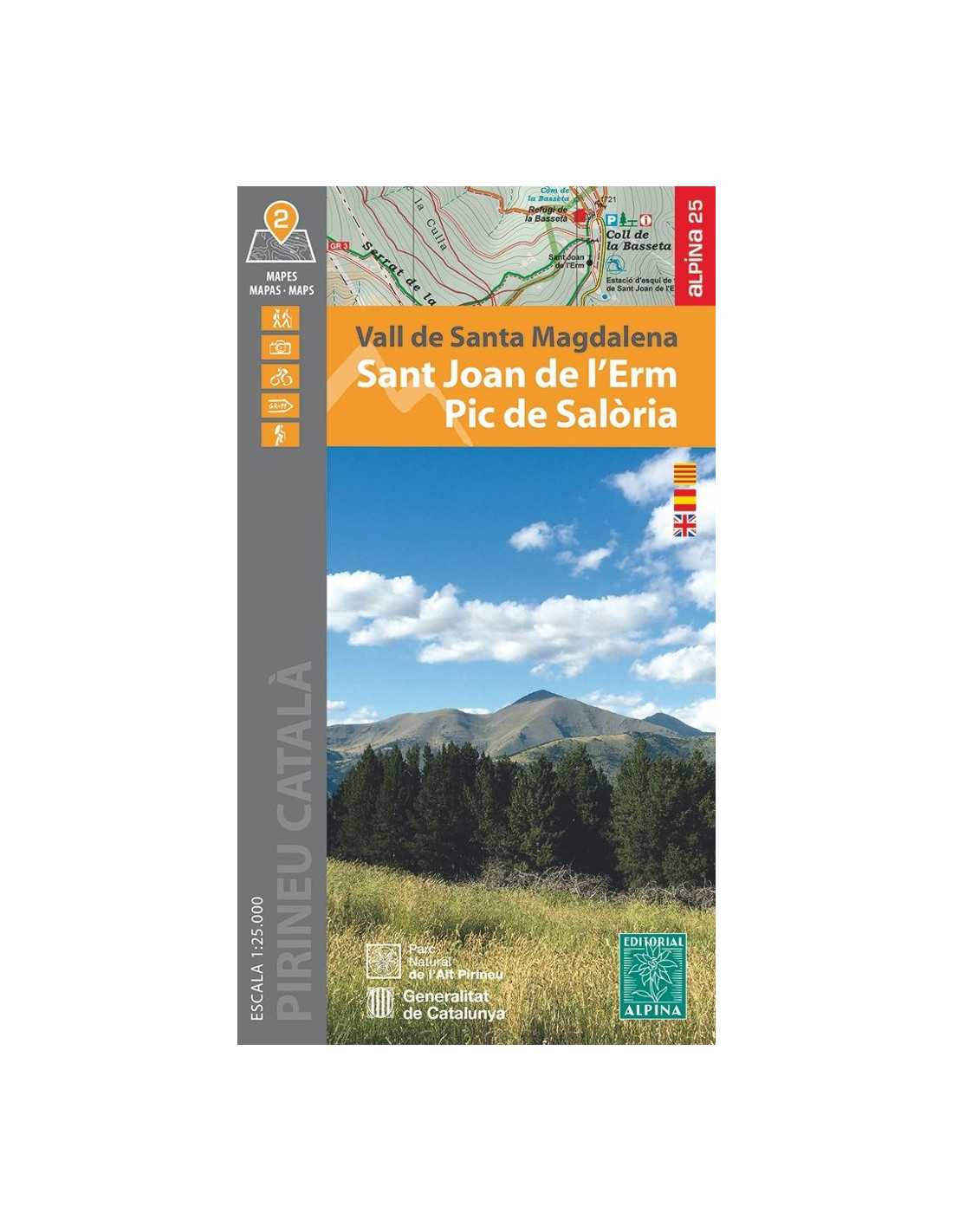
Hiking Map Editorial Alpina Sant Joan de l’Erm Pic de Salòria Unisex
Explore the stunning region of the Pyrenees with the detailed map from Sant Joan de l’Erm to Pic de Salòria. This map covers the unique area of the Santa Magdalena valley, which stretches between Llavorsí and Rialp, with the Santa Magdalena or Romadriu river marking the natural boundary between Pallars Sobirà and l’Alt Urgell. It also includes the Siarb or Cantó valley, an area full of contrasts between the Pyrenees and the Pre-Pyrenees, offering spectacular and authentic views that extend from the town of Sort to the Torreta de l’Orri (2,438 m).
Product Details
- Covered Area: Santa Magdalena Valley to Pic de Salòria
- Elevations: From the town of Sort to Torreta de l’Orri (2,438 m)
- Highlighted Regions: Pallars Sobirà and l’Alt Urgell
- Terrain Features: Contrasts between the Pyrenees and the Pre-Pyrenees
- Recommended Use: Hiking and exploration activities
Features
- Detailed map for hiking
- Coverage of unique natural areas
- Information on elevations and terrains
- Well-defined natural boundaries
- Ideal for explorers and adventurers
|
- Compatible for outdoor use
- Includes hiking routes
- Durable and resistant design
- Clear and precise information
- Designed for unisex use
|