Your cart (0)


- New
 Click&Collect
Available
Click&Collect
Available
 Home delivery
Available
Home delivery
Available
 Free shipping from 120€ (EU)
 100% secure payment
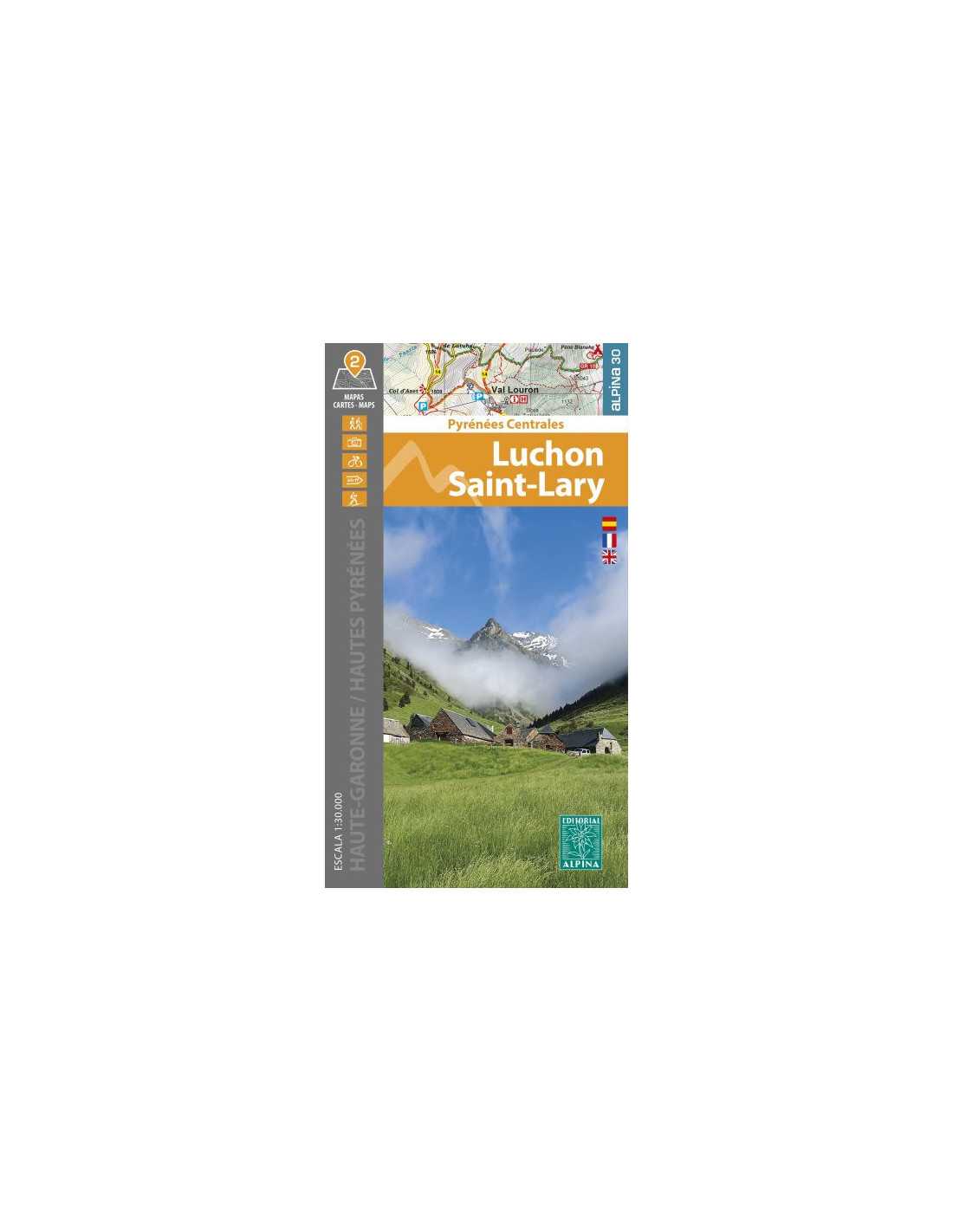
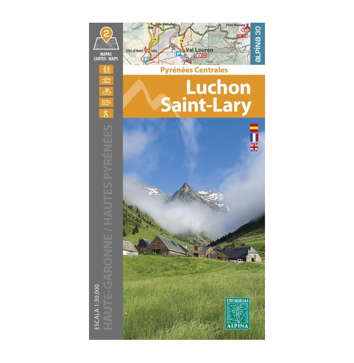
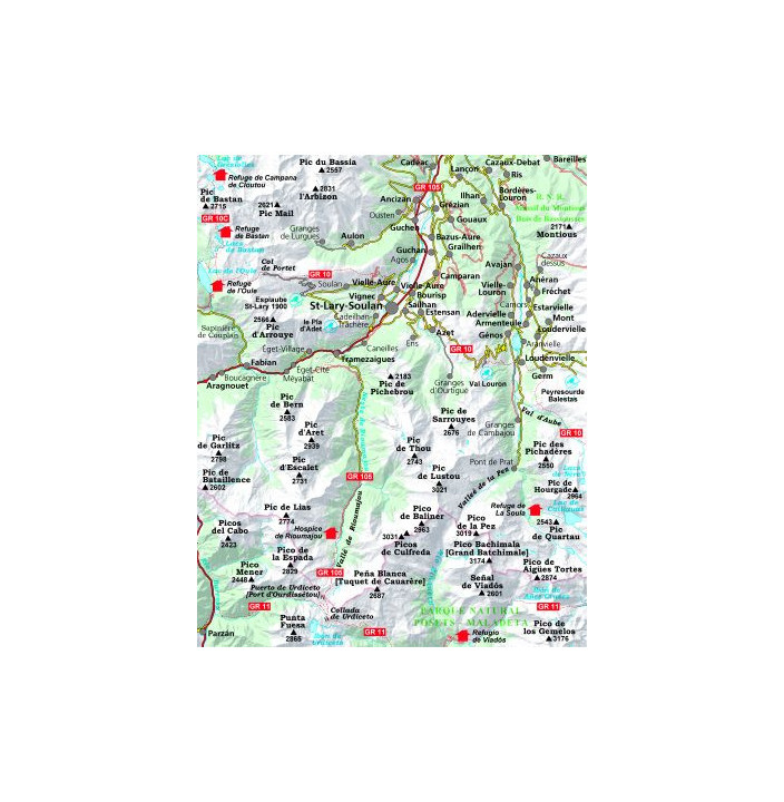
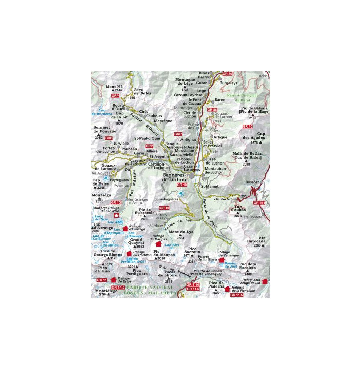
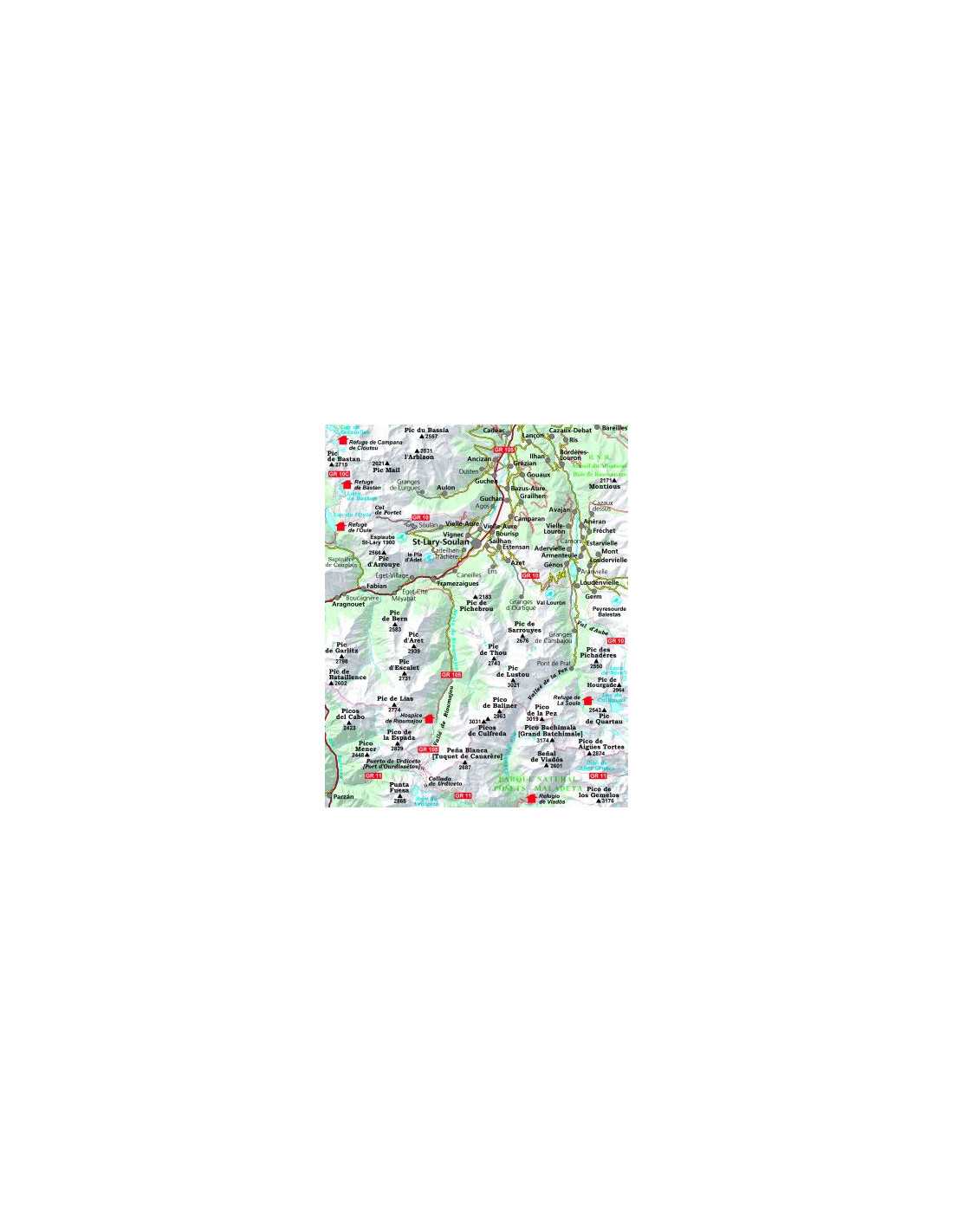
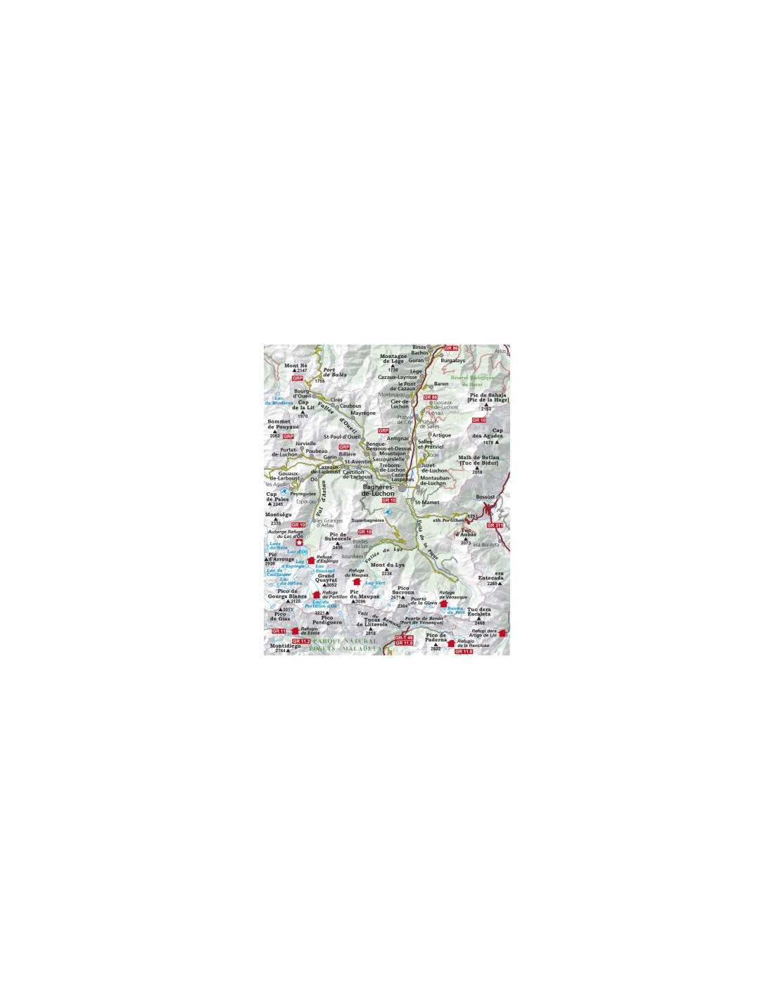
This set of hiking maps is an essential tool for adventurers exploring the Luchon Saint Lary region, in the areas of Haute-Garonne and Hautes Pyrénées. Including two detailed maps within a durable folder, it provides accurate and useful information for hiking and outdoor explorations. The 1:30,000 scale ensures an optimal level of detail, while the contour lines and vegetation representations add visual depth to the cartography. Additionally, the network of trails and services is clearly indicated, facilitating the planning and navigation of your favorite routes.
|
|