Your cart (0)


Books and Maps
 Click&Collect
Available
Click&Collect
Available
 Home delivery
Available
Home delivery
Available
 Free shipping from 120€ (EU)
 100% secure payment
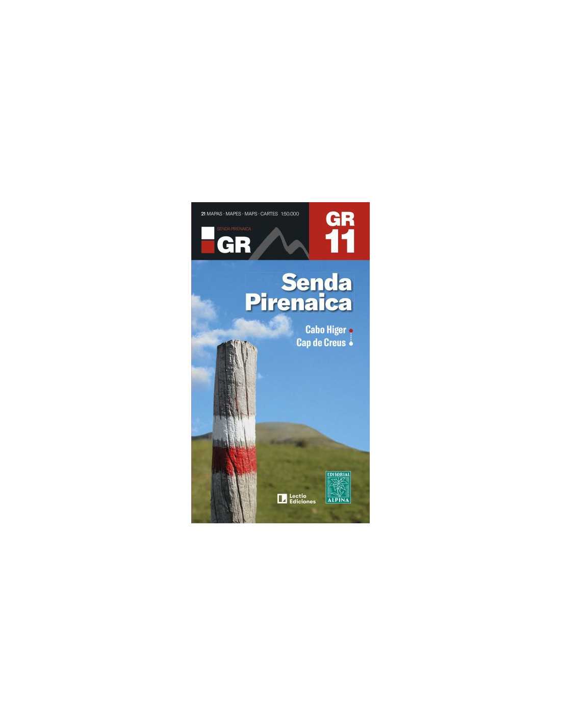
This product offers comprehensive cartography of the GR 11, covering from the Atlantic Ocean to the Mediterranean Sea. It consists of a set of 21 topographic maps at a 1:50,000 scale, detailing the 43 stages of the GR 11. Each map includes technical information and details of each section, considering the two possible directions of the journey, as well as partial profiles of each stage.
|
|